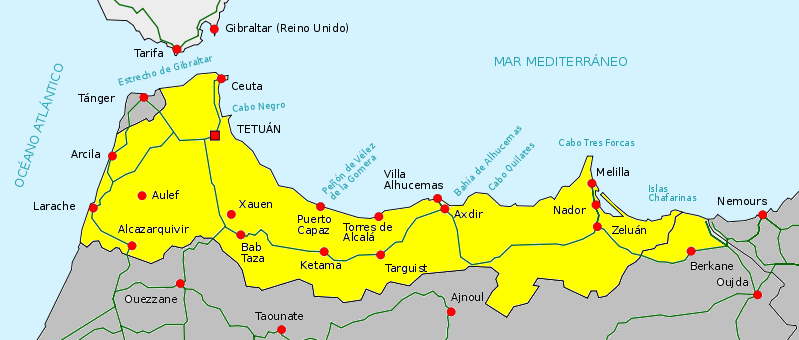
The political and national boundaries of Morocco have changed over time. Morocco has a rich history that can trace inhabitants in its lands back thousands of years. Civilizations and cultures flourished in Morocco long before the establishment of modern nation states with strictly defined international borders. Pictured below is a map detailing Morocco's borders in modern times.

The next map represents the concentration of ethnic and language dialects within modern Morocco.
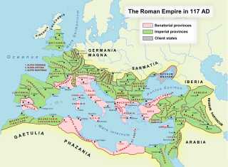
During the height of the Roman Empire its presence was felt in what is present day Morocco. Remains of the ancient Roman city of Volubulis can still be seen today.
After the fall of the Roman Empire there was a period of Islamic conquest. Arab armies pushed
west through North Africa into Morocco.
During the Middle Ages there were a couple of different Islamic Dynasties in Morocco. Both of these dynasties were led by Berber people from Morocco. The Almohads were a Berber people that came from a tribe in the Atlas Mountains.
To the south of Morocco is an area of international dispute. Western Sahara was a Spanish Colony named Spanish Sahara prior to 1975. After the Spanish withdrew the Moroccans claimed it as their territory. However, the native people disagreed and fought a 16 year insurgency against Morocco. In 1991 there was a UN truce put into place. Morocco controls the western part of Western Sahara. The eastern part is controlled by the political Polisario Front and called the Saharan Arab Democratic Republic.[1]
1 "Africa". Last modified 2017. Accessed December 15, 2017. http://www.bbc.com/new/world-africa-14114627.
2 "Africa". Last modified 2017. Accessed December 15, 2017. http://www.bbc.com/new/world-africa-14115273.


No comments:
Post a Comment